Skip to main content Skip to navigation
  • Mō mātou About us
  • Kōrero whakapā Contact us
  • Whakapāpātanga Consultations
  • Rauemi Resources
  • Ara mahi Careers
Toitū Te Whenua Land Information New Zealand Toitū Te Whenua - Land Information New Zealand
  • Our work Ā mātou mahi
  • Products & services Ngā hua me ngā ratonga
  • Guidance Kōrero ārahi
  • News Karere

Toitū Te Whenua - Land Information New Zealand

Delivering a trusted land, geospatial and property system that drives innovation, stability and growth for New Zealand

Popular E aronuitia ana

  • Landonline log in and alerts
  • Landonline support
  • Order a title
  • Notices to Mariners
  • LINZ Data Service
  • Cadastral survey guidelines
  • Land registration guidance
  • Overseas investment guidance
  • Maps
  • Tide predictions
  • Crown property guidance
  • Survey and titles processing times
  • Place names
Aerial view of Tauranga Harbour 

View Tauranga Harbour on Basemaps  
sourced from LINZ Data Service
under Creative Commons Attribution 4.0
captured for BOPLASS Limited by AAM NZ Ltd, 6 Ossian St, Napier, New Zealand.
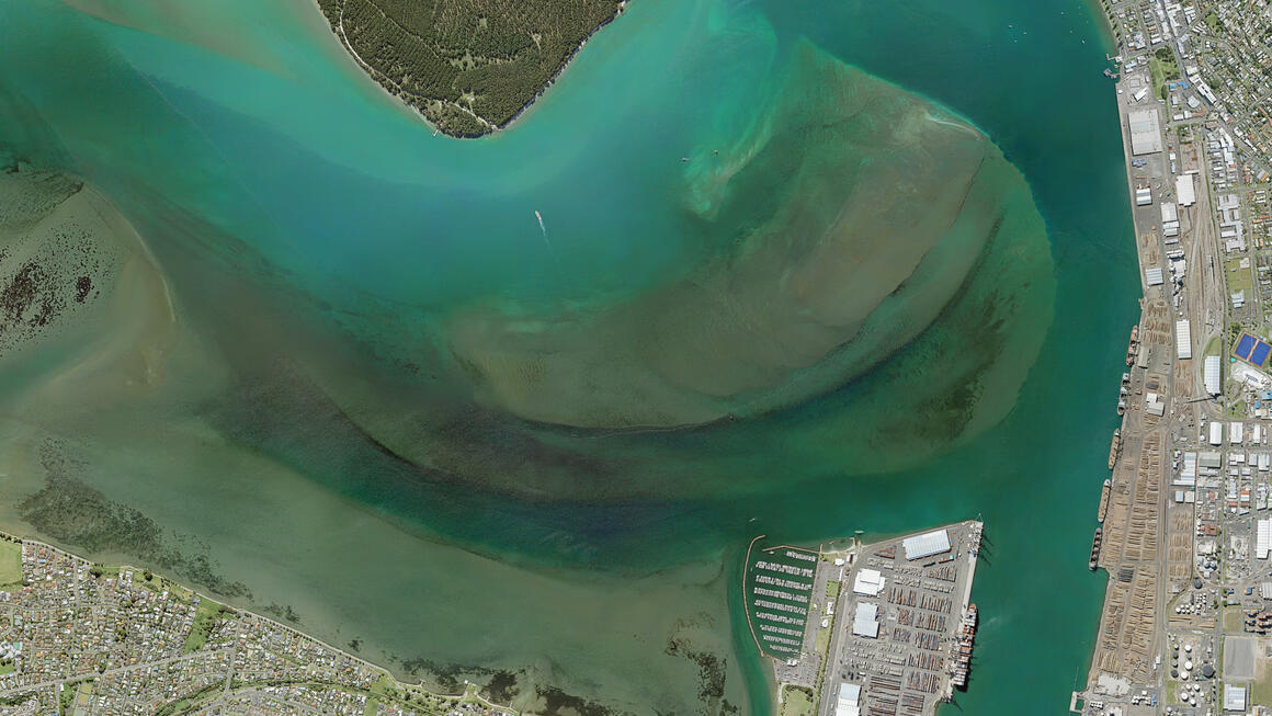
 

Image description

Aerial view of Tauranga Harbour

News Karere

View all news
  • Person in hi-vis jacket holds a pole scanner, whilst standing in a rural valley

    SouthPAN boosts accuracy, speed and cost efficiency for forestry research

    Published date
    10 June 2026
    First introduced in 2020, SouthPAN (Southern Positioning Augmentation Network) is now a core part of the Bioeconomy Science Institute’s forestry workflows. The Institute is using SouthPAN to support forestry mapping, inventory, pest monitoring and operational decision-making in challenging field conditions.
    Topic
    Geodetic
  • Map of stream in Otūmoetai flowing north then northwestward to Tauranga Harbour

    Consultation open to name Tauranga stream, Kākahu-pekepeke

    Published date
    10 June 2026
    Consultation is open for two months on a proposal to name an unnamed stream in Tauranga, Kākahu-pekepeke.
    Topic
    Place naming
  • map showing location of hobsonville names proposed

    Proposal to make 7 Hobsonville place names official

    Published date
    10 June 2026
    Consultation is open for two months to make 7 locally used place names in Hobsonville official.
    Topic
    Place naming
  • map showing the location for breakwater bay

    Proposal to name bay, Breakwater Bay

    Published date
    10 June 2026
    Consultation is now open for two months on a proposal to name an unnamed bay in Napier, Breakwater Bay.
    Topic
    Place naming

People come and go, but the land remains Whatungarongaro te tangata toitū te whenua

  • Our kaupapa
  • Ā mātou mahi Our work
    • Crown property management
    • Location information
    • Overseas investment regulation
    • Property information system
    • Statutory and support roles
    • Māori and iwi development
    • New Zealand Geographic Board
    • Projects
  • Ngā hua me ngā ratonga Products & services
    • Accredited suppliers
    • Camping areas
    • Charts
    • Crown property applications
    • Data
    • Geodetic
    • Land records
    • Landonline
    • Maps
    • Maritime safety
    • Place names
    • Tenancy, land and property management
    • Tides and tidal streams
    • Products and services A - Z
  • Kōrero ārahi Guidance
    • Crown property
    • Data service
    • Geodetic system
    • Land registration
    • Landonline support
    • Marine information
    • Overseas investment
    • Place naming
    • Property addressing
    • Property valuation
    • Survey
  • Karere News
Toitū Te Whenua Land Information New Zealand Toitū Te Whenua Land Information New Zealand
  • Mō mātou About us
  • Kōrero whakapā Contact us
  • Whakapāpātanga Consultations
  • Rauemi Resources
  • Ara mahi Careers
  • Facebook
  • LinkedIn
  • YouTube

© Copyright Toitū Te Whenua

  • Accessibility
  • Copyright
  • Disclaimer
  • Link requests
  • Privacy
Shielded site
Te Kāwanatanga o Aotearoa New Zealand Government New Zealand Government