Our annual report describes the wide range of work Toitū Te Whenua Land Information New Zealand does across New Zealand and further afield. It illustrates the value we add across the country and how our focus on customer-centric outcomes makes a difference to our partners and stakeholders including government agencies, businesses and individuals.
The annual report covers the construction of the SouthPAN satellite uplink facility in Awarua, Southland, which will improve the accuracy of satellite positioning services, and outlines progress on the modernisation of our world-class Landonline platform for land registration. We have responded to emerging government policy and the evolving needs of our customers, implementing changes to overseas investment processes, reviewing New Zealand’s Rating Valuation Rules, and continuing our programme of marine and coastal mapping.


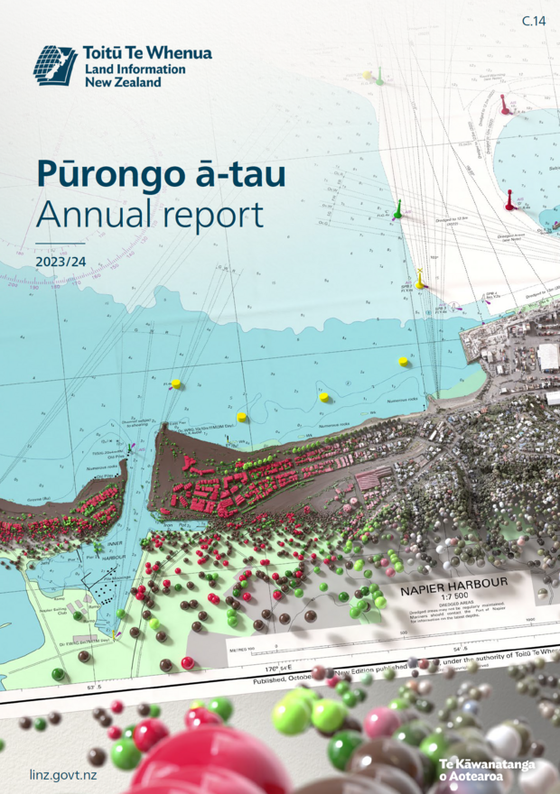
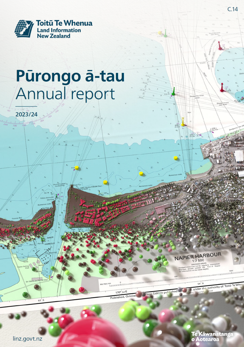
A hydrographic chart of Napier Harbour forms the upper portion of the image, with a point cloud created from LiDAR data in the lower half. The left side of the point cloud was analysed to identify the objects that have been captured with buildings coloured red, trees coloured green, and the ground shown in brown. In the lower right, the point cloud is given its realworld colour from the aerial imagery.